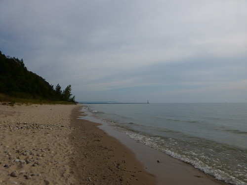
Years ago when I was much younger my family spent quite a bit of time in and around Frankfort, Michigan. For all those years I remember always looking north along the shoreline to a point where a dune comes down nearly to the water and wondering what was beyond the point. This day I finally walked up the beach to see; here is the photo looking back toward the pier to prove I did it. If you're wondering what lie beyond the point it was more beach and up the shore another point just like this one.
I stopped coming to this part of Northern Michigan in the late 1980s, because it can be very crowded and in places, over developed. Lodging is also more expensive here than other places in Northern Michigan. It is also very beautiful here, I think you could put a camera in the hands of a chimpanzee and get beautiful photos. It's that beautiful. Tomorrow we'll head into Sleeping Bear Dunes National Lakeshore. I had not been back to this area since the national park was created, and I was interested to see how things had changed.
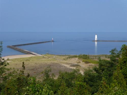
Looking out over Betsie Bay at both the Elberta and Frankfort piers.
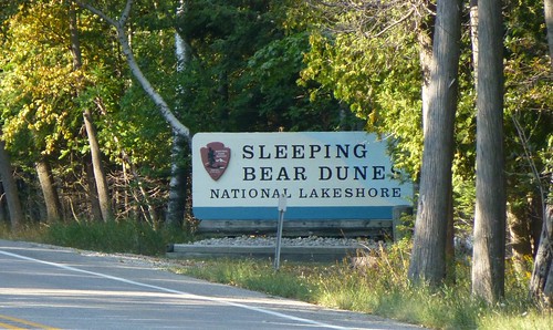
Entering the national park
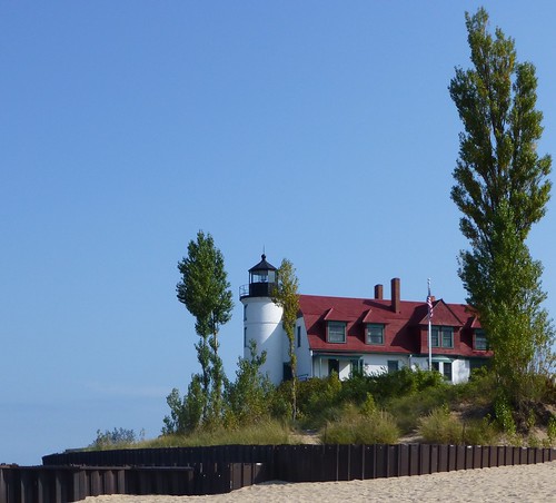
Point Betsie Lighthouse
Before GPS Point Betsie was the first navigation point for ships heading north from Chicago. Ships passed by only a mile from shore so this was a good place to relax and watch the freighters pass by.
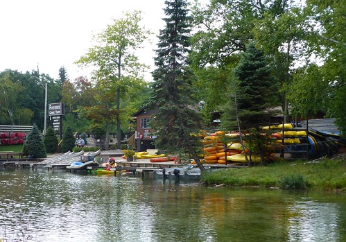
Looking across the Platte River at the canoe livery
This used to be all undeveloped, however there was a small store on the other side of the road with an old fashioned stern wheel paddle wheel boat, which traveled up and down the river. Someplace in my family there are probably photos of that.
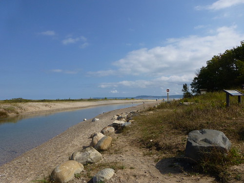
Platte River mouth
Here the Platte River has made its last turn before dumping into Platte Bay. In the fall fishermen surf cast here for Coho Salmon.
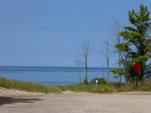
The end of the road
One of my favorite things about the west coast of Michigan is how roads dead end right at the water. Although away from the National Lakeshore these places are becoming harder to find as more and more people build houses at these dead ends. Where I live on the western end of Lake Erie, the lakeshore is nearly all private. There are only a couple places to get to the lake in Monroe County.
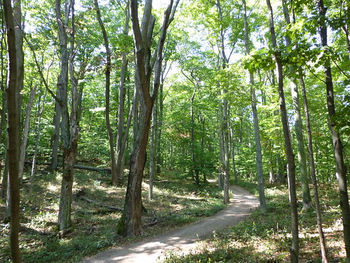
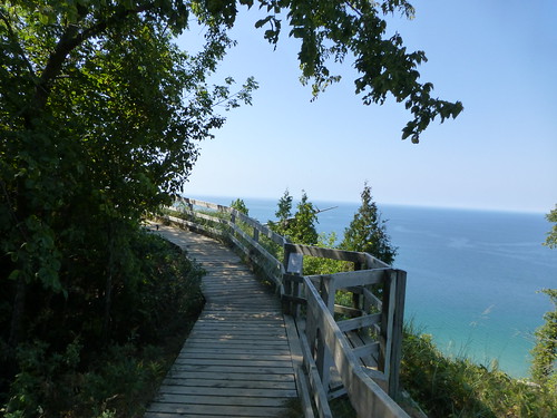
Just off the trailhead of the Empire Bluffs Trail
This trail is a nice hike through forest to stunning vistas of Lake Michigan. The parking lot is situated on a side street that heads out of Empire through thick forest, up a steep hill with switchbacks on the road, something not found much here in Michigan. At the top of the hill it was always a surprise to come out of the woods into the sunshine, where the road made a sharp turn left and straight ahead was a beautiful working farm. I always wanted to get a picture of it. Today the farm is gone, but the trail is an addition of the National Park Service.
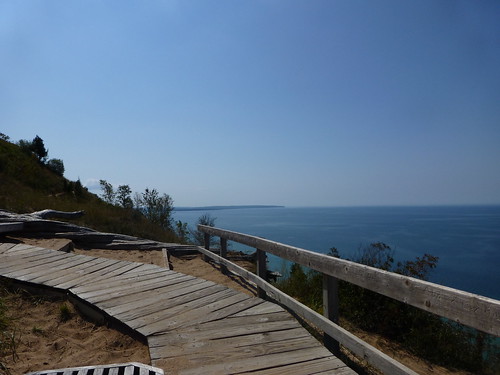
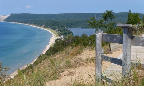
From the end of the trail, looking north
Looking north along the Lake Michigan shoreline towards Empire, Michigan, at South Bar Lake and in the top left bleeding off the edge of the photo you can see Sleeping Bear Sand Dunes.
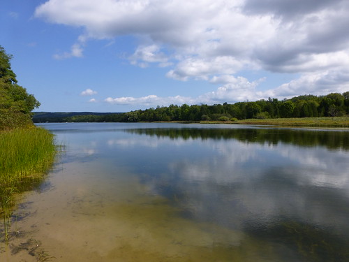
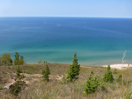
South Bar Lake
This park with a public beach in Empire is situated between South Bar Lake and Lake Michigan. It is a favorite of families with small children because you can park close to the water without having to trudge through acres of dunes to get to the lake.
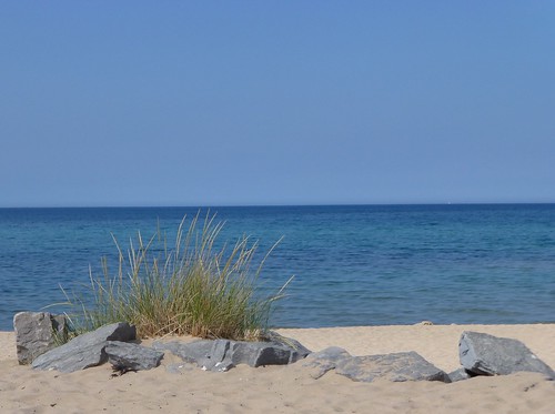
Public beach in Empire
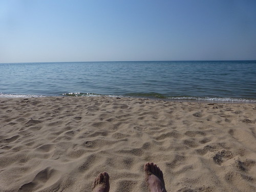
Time for a swim and relax in the sun
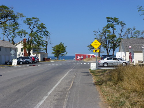
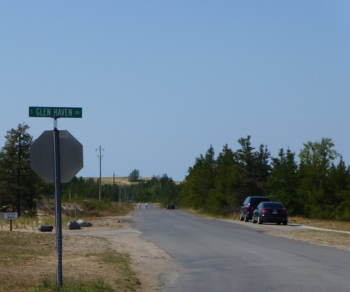
Approaching Glen Haven
When I was young this was a hopping little tourist town with lots of small shops and people eating ice cream cones walking along the street and crossing willy-nilly without looking. Now that this is all part of the National Lakeshore many changes have taken place. Buildings from the former business are gone, mostly.
Ch-ch-ch-ch-changes
This paved road leads to a museum of some sort. (I like being outside, so museums don't attract me much.) It used to be a little sandy gravel two track, with old two story wood frame cottages on the right (lake shore) side of the road. They were the kind of old, tumbledown cottages that had probably been in families for generations and when I see them missing I know in some ways it is better, but I ache for the families who lost their old lakeside retreats.
After a long day of hiking and swimming it's time to head back to Frankfort and dinner. Even though I ache over some of the changes, all in all I'm grateful that this stretch of lakeshore will be protected and therefore will always be available for everyone to enjoy.
These photos were taken in the southern half of the park. It was my intention to explore further the next day, but I was called home unexpectedly. I did take photos of the Sleeping Bear Dune climb, but they are decidedly underwhelming so if you're interested you can check out the link.

